The
Golan Heights, or simply the
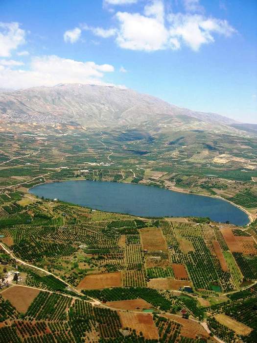
Golan, is a basaltic plateau at the southwest corner of Syria. It is bordered by the Yarmouk River in the south, the Sea of Galilee and Hula Valley in the west, the Anti-Lebanon mountains with Mount Hermon in the north and Wadi Raqqad in the east. It hosts vital water sources that feed the Hasbani River and the Jordan River. Two thirds of the area was occupied by Israel following the 1967 Six-Day War and then effectively annexed in 1981 – an action unrecognized by the international community, which continues to consider it Israeli-occupied Syrian territory. In 2024 Israel occupied the remaining one third of the area.